Rutland
The smallest population of any normal unitary authority in mainland England
Rutland is a landlocked county in the East Midlands of England, bounded to the west and north by Leicestershire, to the north-east by Lincolnshire and the south-east by Northamptonshire.

Its greatest length north to south is only 18 miles and its greatest breadth east to west is 17 miles. It is the smallest historic county in England and the fourth smallest in the UK as a whole. Because of this, the Latin motto Multum in Parvo or “much in little” was adopted by the county council in 1950. It has the smallest population of any normal unitary authority in mainland England and only the City of London is smaller in terms of area.
The Area
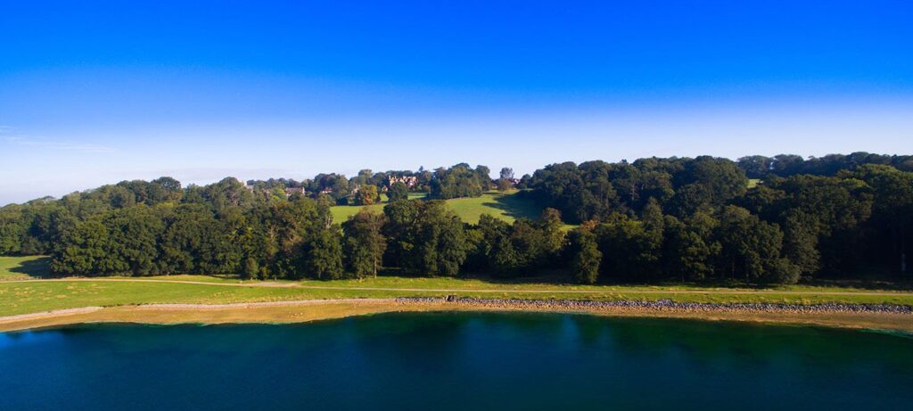
The only towns in Rutland are Oakham, the county town, and Uppingham. At the centre of the county is the large artificial reservoir, Rutland Water, which is an important nature reserve serving as an overwintering site for wildfowl and a breeding site for ospreys.
The particular geology of the area has given its name to the Rutland Formation which was formed from muds and sand carried down by rivers and occurring as bands of different colours, each with many fossil shells at the bottom. At the bottom of the Rutland Formation is a bed of dirty white sandy silt. Under the Rutland Formation is a formation called the Lincolnshire limestone. The best exposure of this limestone (and also the Rutland Formation) is at the Ketton Cement Works quarry just outside Ketton.
Rutland Water
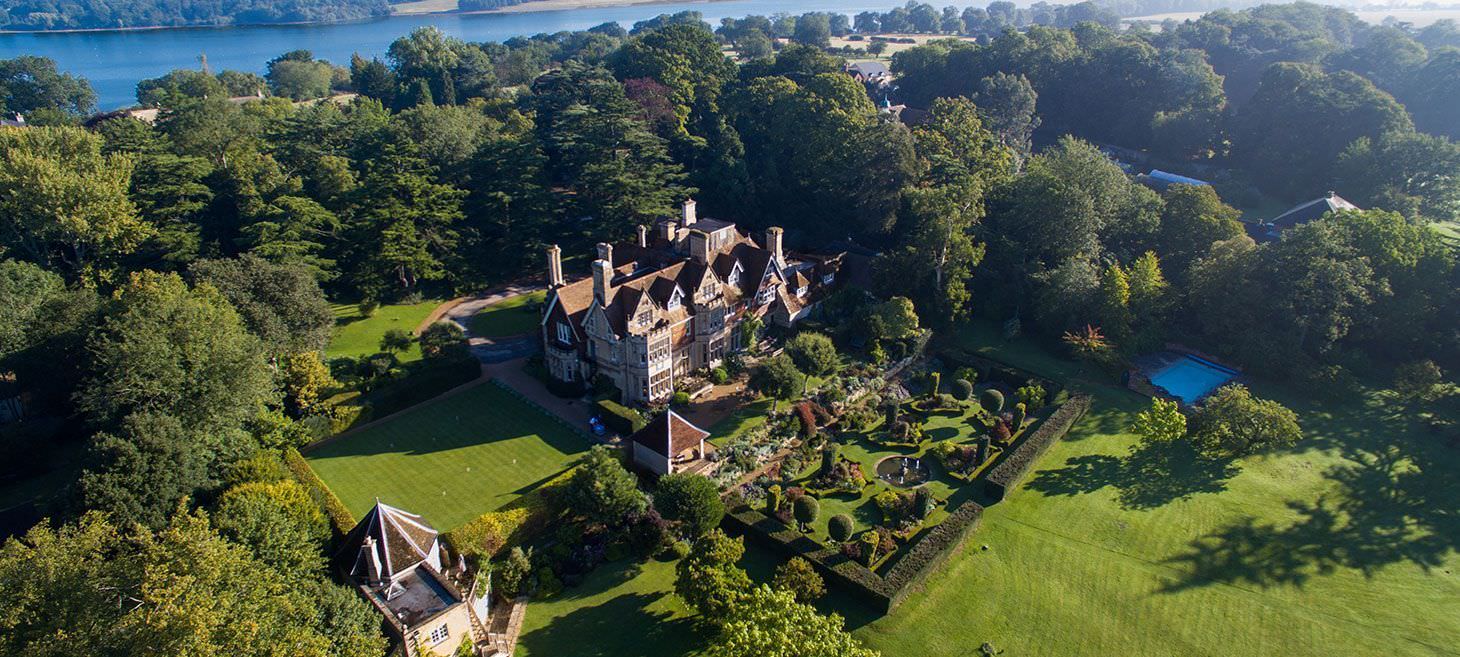
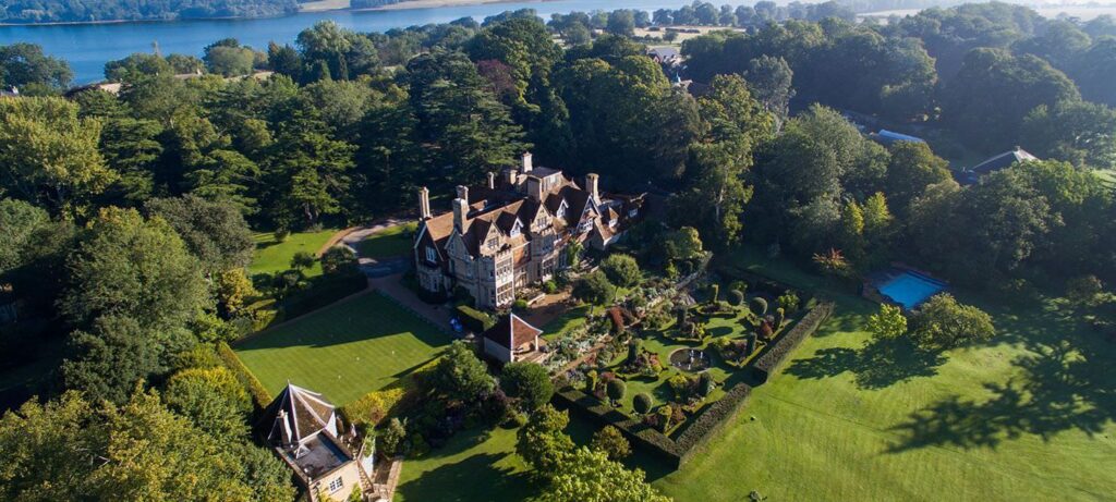
Rutland is dominated by Rutland Water, a large artificial lake formerly known as “Empingham Reservoir”, in the middle of the county, which is almost bisected by a large spit of land, where the Hambleton Hall is located. The west part is in the Vale of Catmose. Rutland Water, when construction started in 1971, became Europe’s largest man-made lake; construction was completed in 1975, and filling the lake took a further four years. This has now been voted Rutland’s favourite tourist attraction.
The highest point of the county is at Flitteris: Flitteriss Park (a farm east of Cold Overton Park) at 197m (646 ft) above sea level. The lowest point is a section of secluded farmland near Belmesthorpe, 17 m (56 feet) above sea level.


